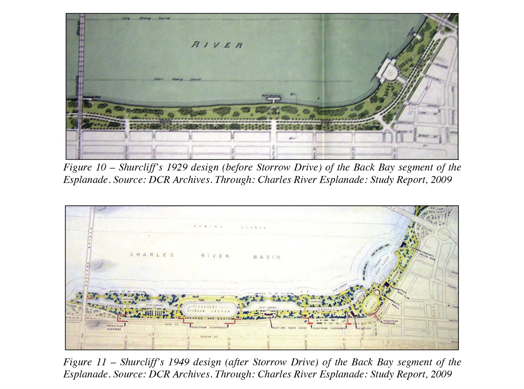
From an Embankment to a Landmark: How a Highway Created the Iconic Charles River Esplanade
The Charles River Esplanade is regarded as one of the most cherished public spaces in the booming city of Boston. It is a social space where people meet and gather, a cultural space where concerts, plays, and other activities are constantly present, and a healthy space for people to exercise, jog, bike or just walk. Its striking state of today was not always the case. Since the 19th century, the Esplanade progressed in phases, over numerous decades, at great cost and effort. Over the several development projects which resulted in ever-changing outcomes in its composition, this research project mainly focused on a single influential developmental project that it argues had the largest residue over the Esplanade, which is the construction of the Storrow Drive Highway right on the Esplanade’s southern boundary. In its essence, this project playfully presents the construction of a highway as being beneficial to the park, and integral to how the Esplanade eventually became the public landmark and an urban recreational space it is today.